- Cross-border database on the cultural heritage of the Slovenian-Hungarian cross-border region – from 120 selected settlements of the Prekmurje Region in Slovenia and Vas County in Hungary
Archive Material
Problem areas in the floodplain of the Rába and the Vörös Creek
document
Póka Antal
1827. 12. 07.
Paper
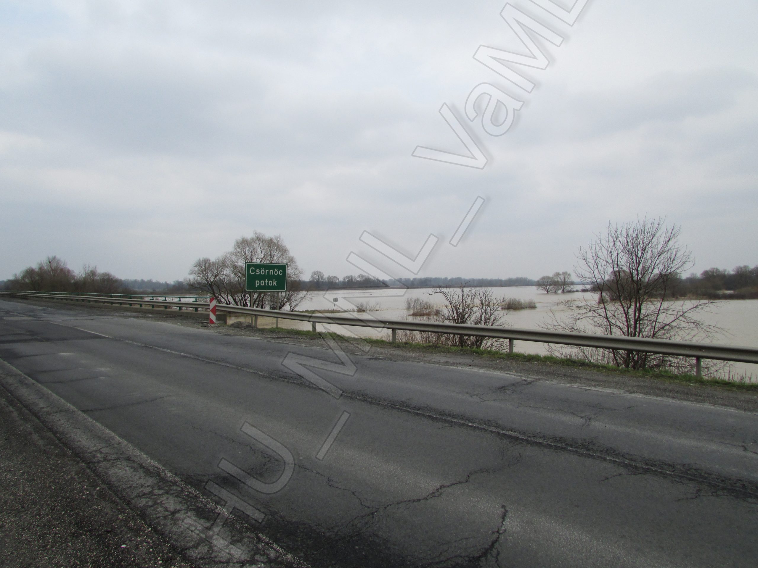
The section of the Rába River below Ivánc and Csákány is geographically the place where the river moves from the southern edge of the wide valley to its northern edge. The two streams running parallel to it: Down to Csákány, the Vörös Creek is on the left bank, while on the south side, down to Sárvár, the Csörnöc and Herpenyő. At high water levels, the area between the river and the streams becomes almost like a sea. The drawing shows the location of the endangered areas and the proposal for river management. On the northern edge of the drawing you can see the sketchy drawing of Batthyány Castle and the English Garden.
Information on digitization
- Name of site
- Ivánc
- Size description
- Az oldalak méretei
- Length
- 1 db térkép; 1 db digitális fénykép
- Place of origin/discovery
- Lenti
- Specialist description
- A térkép nem helyszíni felmérés, hanem két korábbi térkép összekombinálása révén jött létre, de a készítés idején víz alatt álló területeket pontosan jelöli. Lásd ugyanezen térség keresztszelvényének felmérési rajzát is ...! A fényképet Kóta Péter készítette a Körmend és Nádasd közötti Csörnöc-hídnál 2013. áprilisában.
- Name of institution or personage holding object; identification number of object
- Magyar Nemzeti Levéltár Vas Megyei Levéltára ; IV. i. b. Vas Vármegye nemesi közgyűlésének iratai. 1827. Nr. 3187. HU_VaML_IV_1_b_3187-1828; Img_0171.jpg
- Written sources
- Sziklay János – Borovszky Samu (szerk.): Magyarország vár-me¬gyéi és városai, VI. (Vas Vármegye) Budapest 1898.
- File name
- MNL_VaML_0051_B_0015 - MNL_VaML_0051_B_0016
- Resolution
- 300 dpi; 180 dpi
- Restrictions on use
- Korlátozás nélkül
- Date of documentation
- 2018-10-29
- Person documenting
- Kóta Péter
Photo gallery

