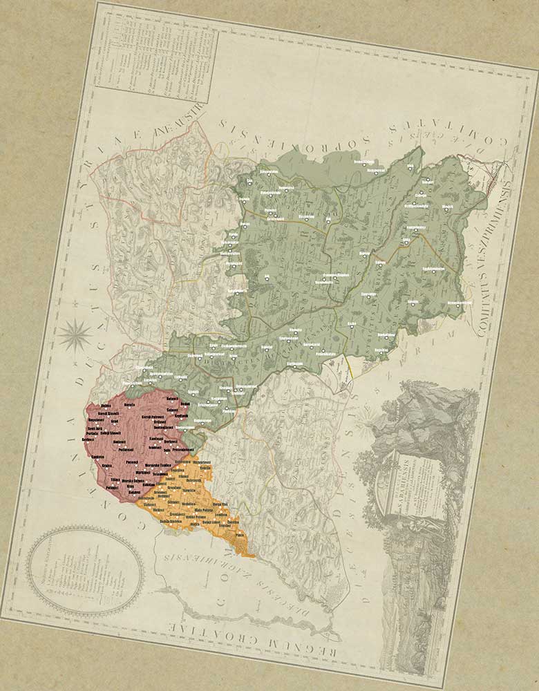
The map of the Szombathley's diocese
Year of the creation: 1807
Preserved by: Hungarian National Archives – Vas County Archive
Description: From the historical map representations, we chose the artistically shaped colored map made by Joseph Kenedics, depicting the diocese of Szombathely because it covers the entire project area. The copper engraving issued in 1807 marks the geographical degree network within a double frame line, the orientation with a wind rose. Its orientation is different from that of today, falling north to the right edge of the (original) sheet. At this time, geographic grid markings were usually omitted from non-north-facing maps. However, Kenedics indicates the latitude and longitude lines. Because north falls in the top corner of the page, the bottom and top frame lines show not the longitude but the latitude. For the sake of clarity, we rotated the original map according to today's approach and superimposed approximately the project area on it.
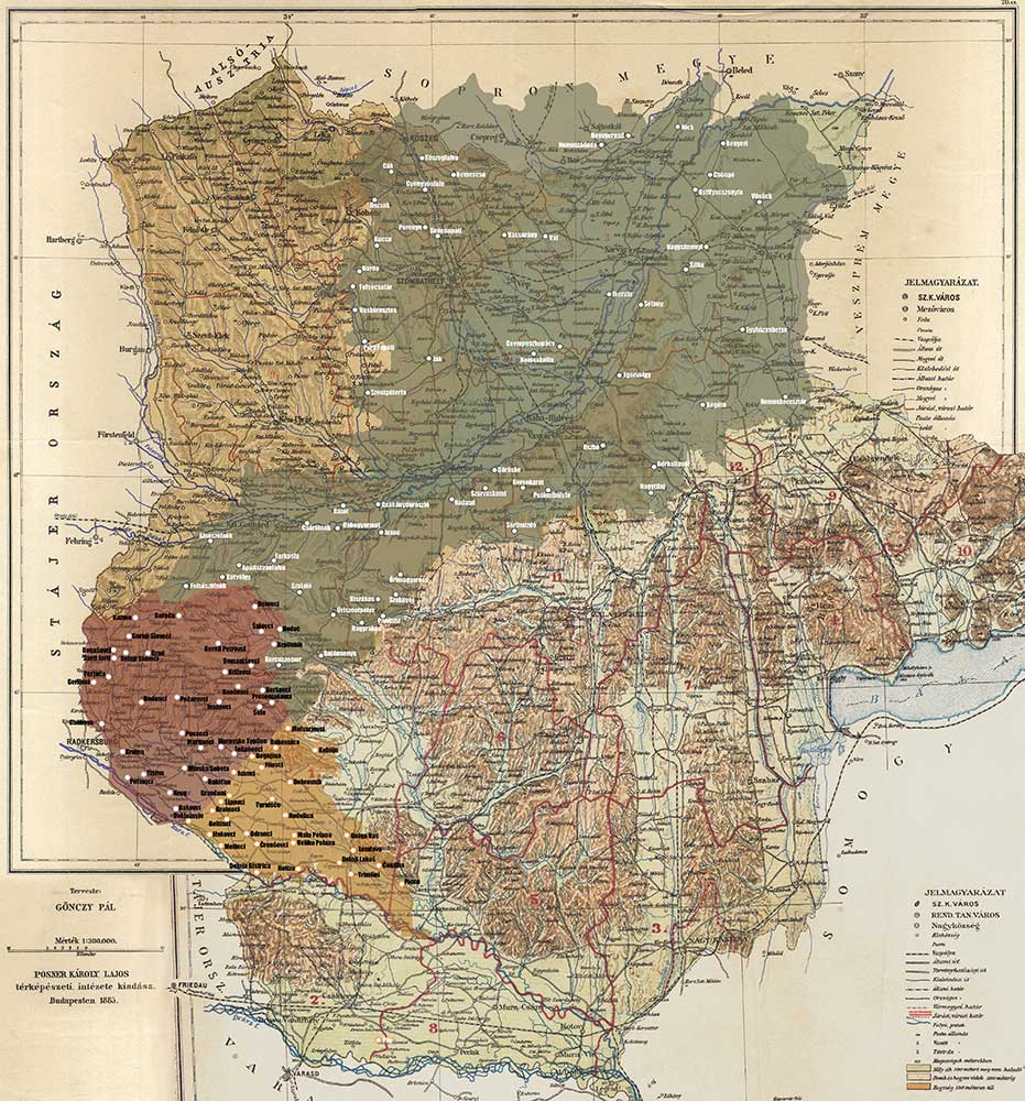
Map of county Vas and Zala
Year of the creation: 1855
Preserved by: Hungarian National Archives – Vas County Archive
Description: Combining the maps of Vas and Zala counties made during the heyday of the Austro-Hungarian Monarchy, we can see the geographical-administrative division of the project area and its neighbourhood.
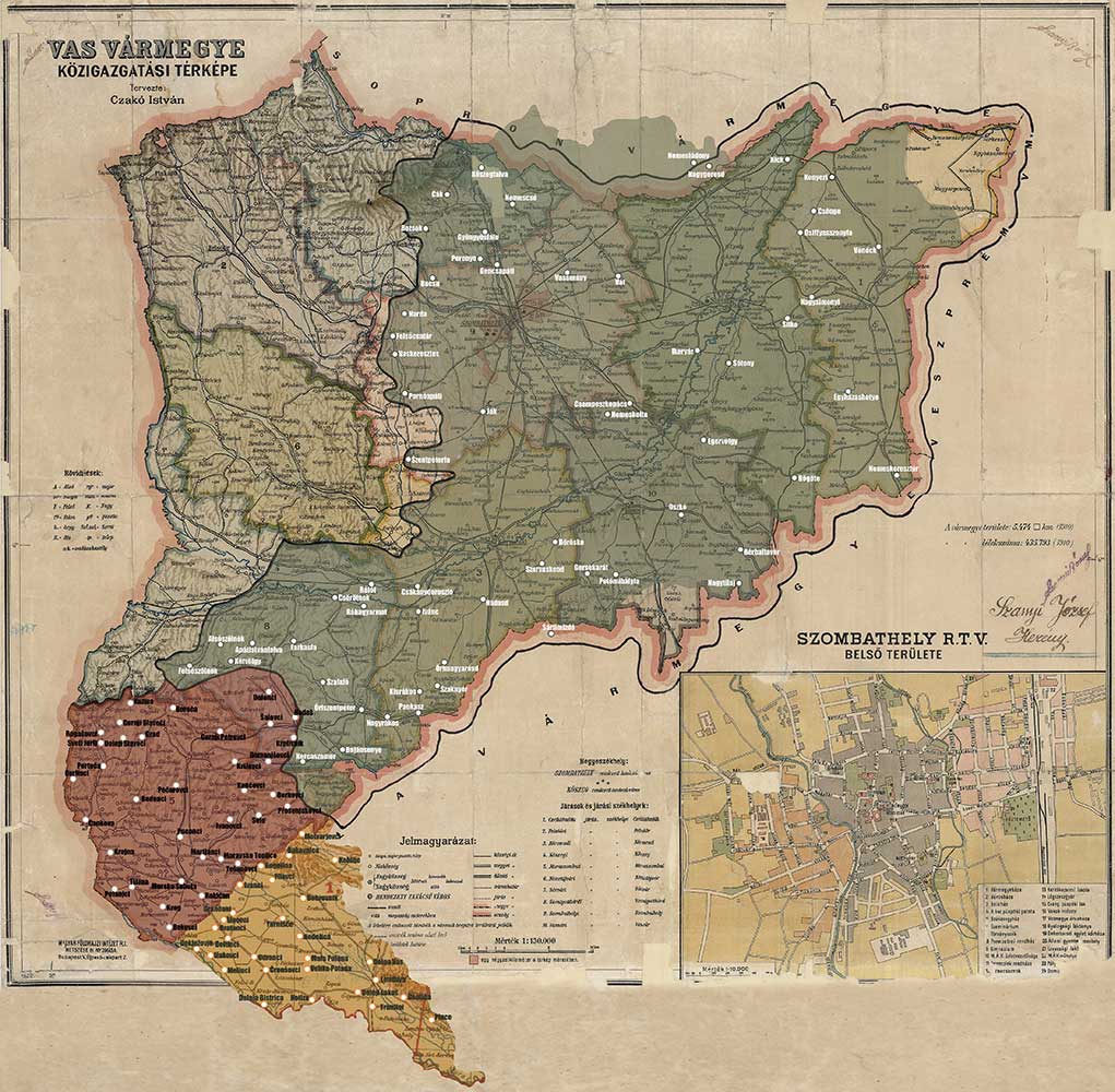
Territorial changes of Vas county in the 20th century
Year of the creation: After 1910
Preserved by: Hungarian National Archives – Vas County Archive
Description: : The map made in the last years of the Monarchy – completed by the territorial changes between 1920 and 1944 - shows well the linguistic diversity of the project area (notice the hungarization of place names!).